A high quality topographical survey is the cornerstone to realising your site’s potential
Topographical Surveys
Accurate & Reliable spatial data from a Chartered Company with over 22 years’ experience in the industry
From a simple threshold level to mapping hundreds of hectares, accurate and reliable survey data enables you to assess site constraints, gradients, terrain, flood risk, watercourses, proximity to adjacent land and buildings, trees & screening, underground drainage and utilities, and many other environmental, physical and human features.
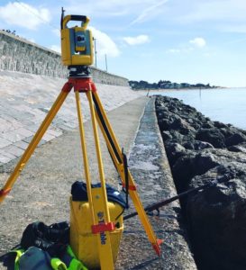
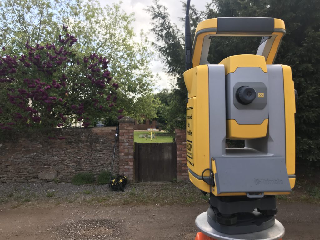
Our experienced Survey Teams utilise the latest Surveying Equipment to obtain 3D data to suit your needs and expectations. Total Stations, Digital Levels, Laser Scanners and GNSS (GPS) survey equipment from the world’s leading manufacturers means we are continuously providing you with the most accurate and comprehensive data possible.
Reliable data from a reputable company with over 22 years’ experience in this sector will allow your project team to design and create with confidence.
View Sample Data
We pride ourselves on the quality of our final delivery. Please have a look at some recent surveys we have completed.


