You cannot solve a Dynamic situation with a Static Solution!
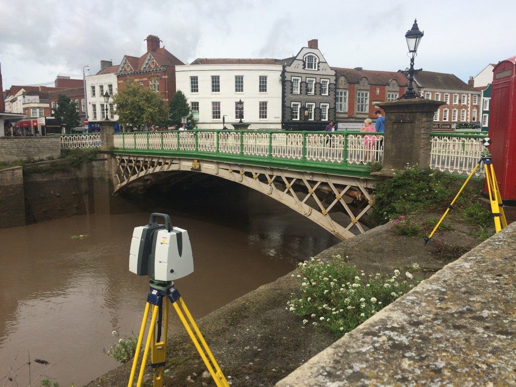
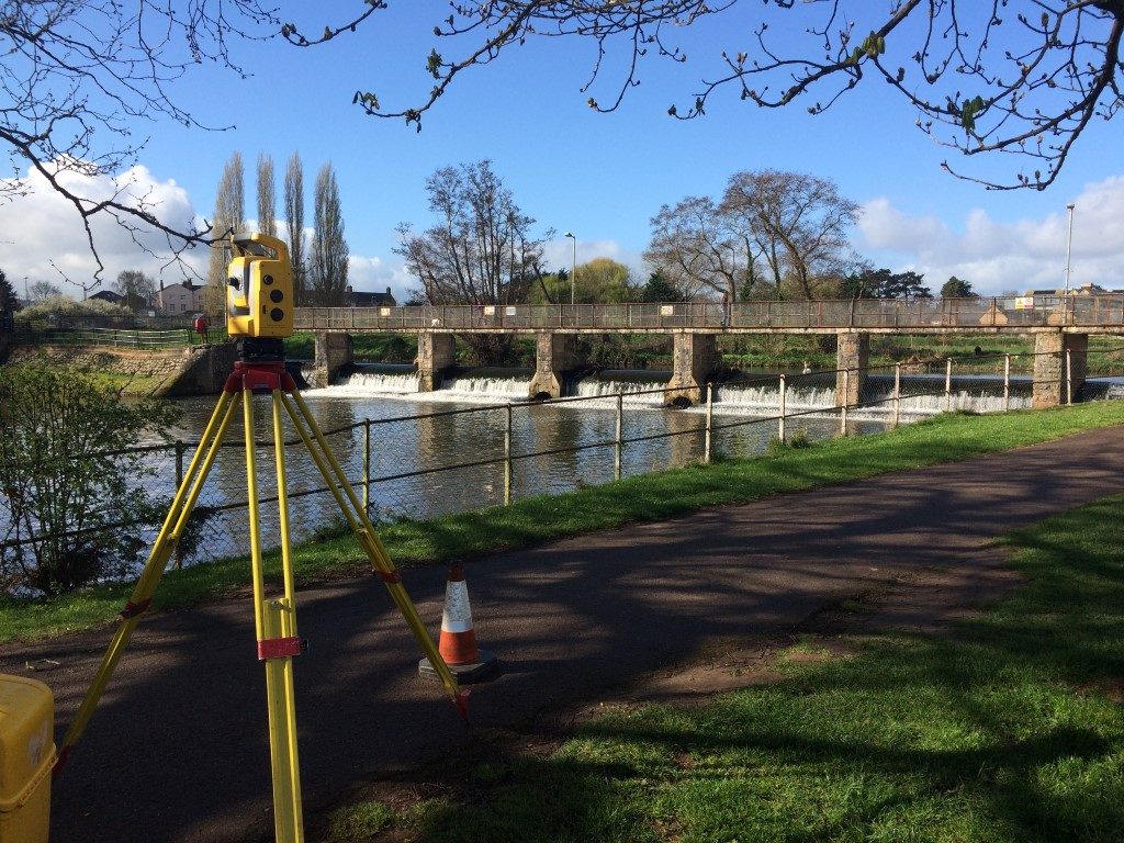
Watercourse and Coastal Surveys
The ever-changing environment that exists along watercourses and around coastlines requires regular monitoring, mapping and collaboration with our clients to ensure the most up to date information is always available
There a few things more dynamic than Britain’s Coasts and Watercourses. Many of our most valuable clients are tasked with the management and protection of these areas. At Lewis Brown, we work closely with them to provide a dynamic and pro-active approach to their needs and expectations.
Confidence in the data we deliver allows them to make informed decisions regarding flooding, erosion and other risks to sensitive zones and to manage the situation effectively.
The use of Global Navigation Satellite Systems (GNSS) and the Ordnance Survey’s Active Network of Control Stations ensure the data we provide is cross-compatible, allowing comparisons to be made between structures and catchments over time through rigorous Control Networks and Monitoring.
View Sample Data
We pride ourselves on the quality of our final delivery. Please have a look at some recent surveys we have completed.